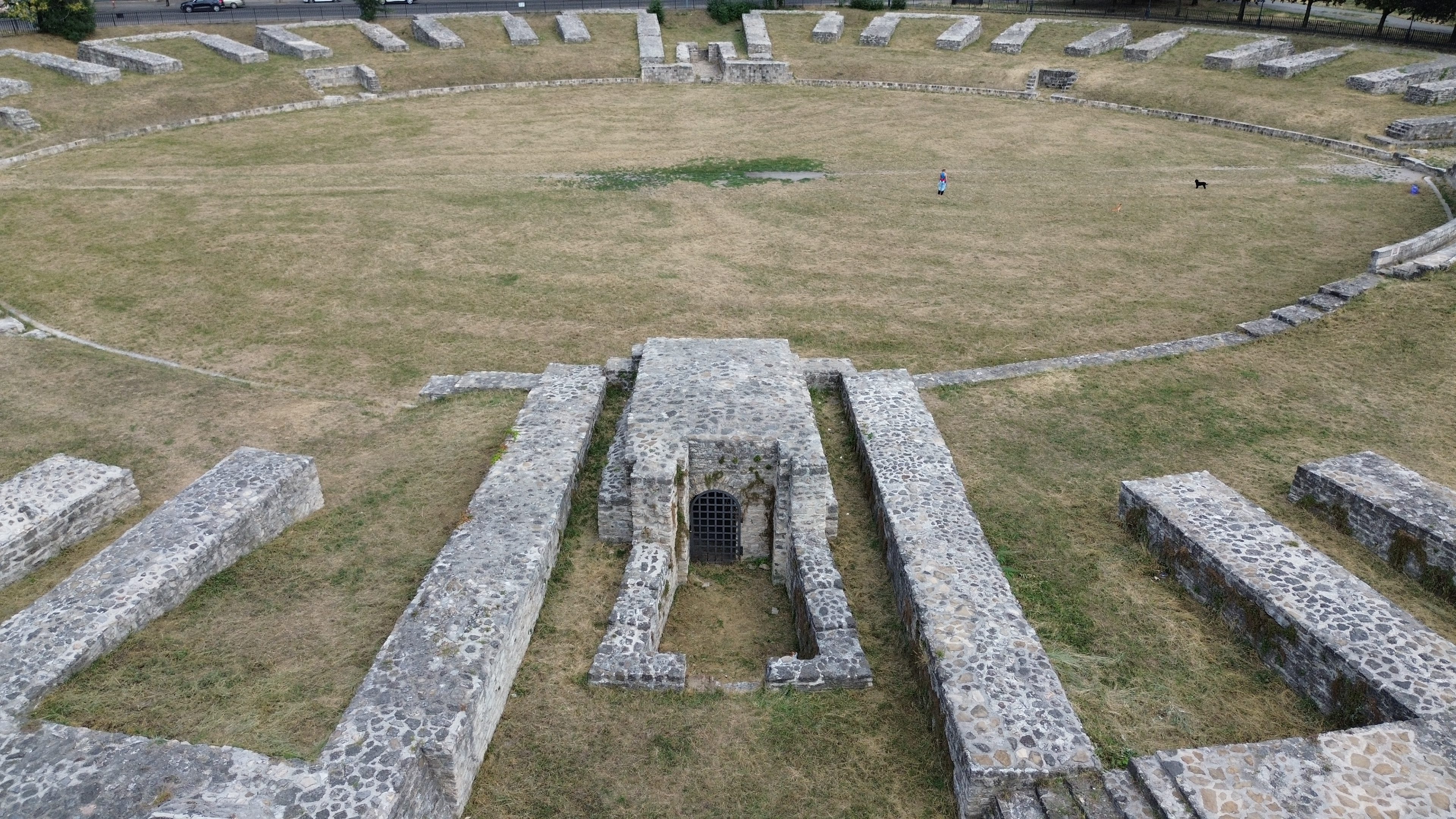
Surveying and documenting our built heritage for research projects or for public exhibitions.
Advantages
- high-resolution capture of original textures
- drone-based surveying makes it possible to document hard-to-reach or inaccessible areas effectively
- documentation down to the finest details
Format
Depending on your needs, the delivered model can be provided as:
- point cloud (.ply, .e57)
- polygon mesh (.obj)
- orthophotos (.jpg, .tiff)